

Walks and Hikes In The Outer Cape - Eastham, Wellfleet, Truro, Provincetown
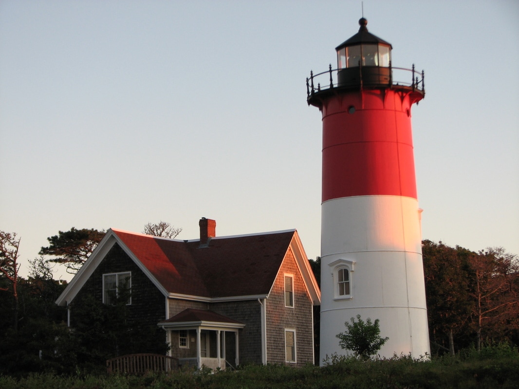
Eastham
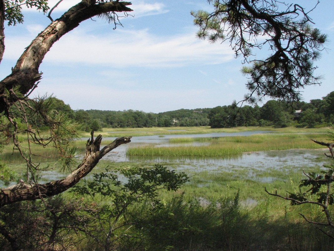
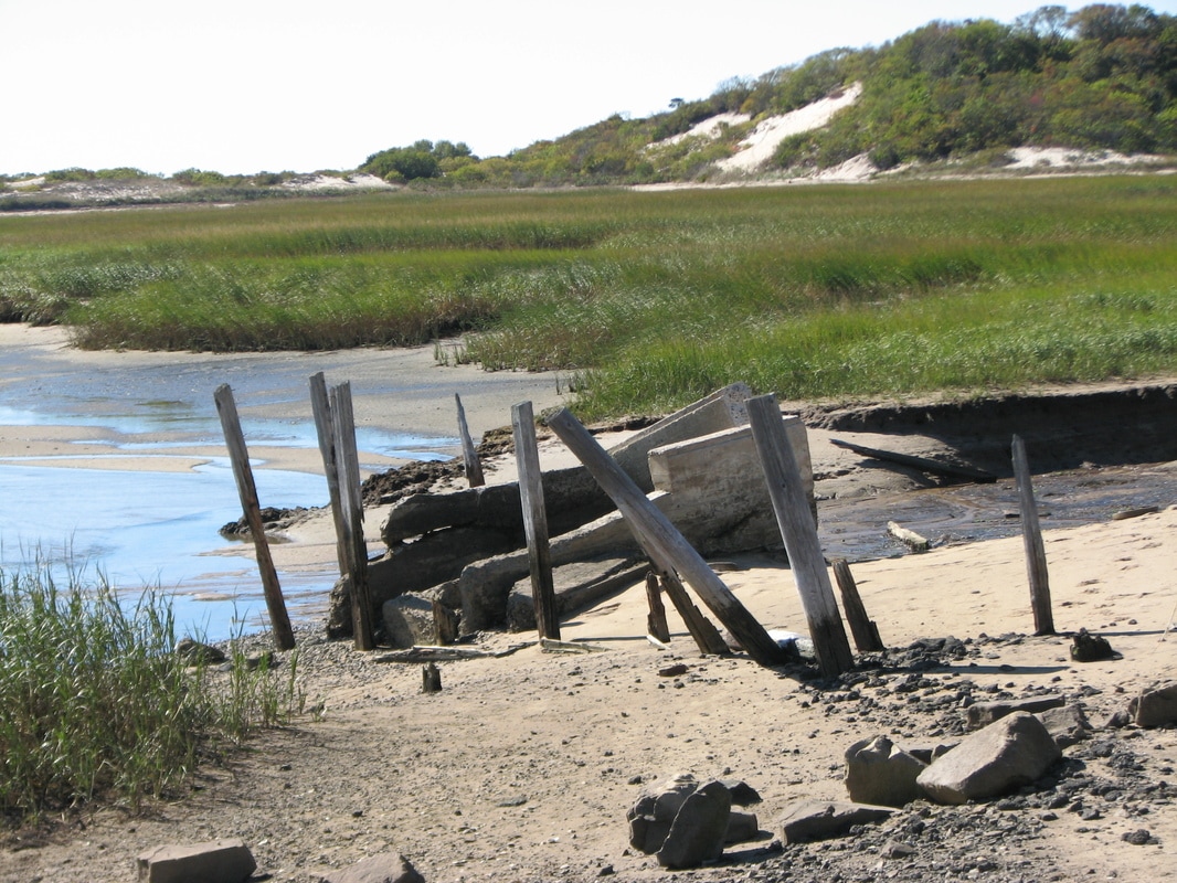
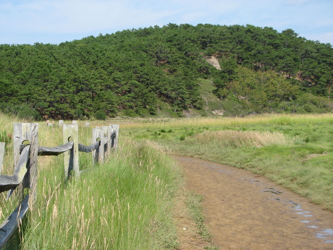
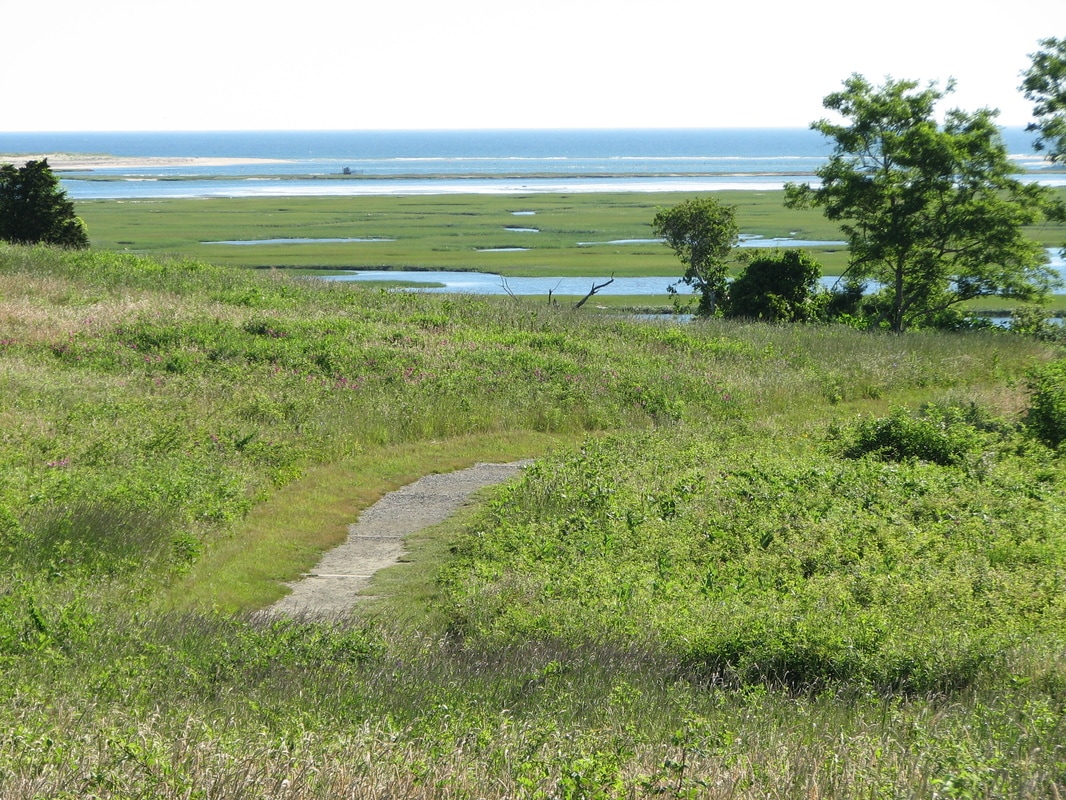
Fort Hill Trail Nauset Marsh and Buttonbush
Coast Guard Beach South Eastham Conservation Area Red Maple Swamp
Cottontail Acres Lamont Smith
Nickerson Wiley Park Conservation Area Doane Trail
Upper Boat Meadow South Eastham Conservation Area
Eastham Glacial Pond Trail Sandy Meadow Open Space
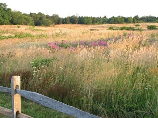
Don’t miss the Fort Hill area; here there are open fields right along the shores of Nauset Marsh with views of Nauset Spit. A very different walk is found right next to Fort Hill - the Red Maple Swamp Trail with a boardwalk through the area. At Coast Guard Beach you can walk along the shore where Henry Beston had written his book “The Outermost House”. You can walk along this beautiful beach for several miles either north or south. At Salt Pond Visitor Center, you can access the Nauset Marsh and Buttonbush Trails, these allow you to walk along Salt Pond, though the woodlands, and all the way to Coast Guard Beach.
Wellfleet
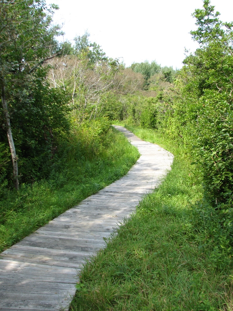
Audubon Wellfleet Bay Uncle Tim’s Bridge Atlantic White Cedar Swamp
Great Island Trail Fox Island Marsh Conservation Area
Pilgrim Spring Woodlands Bayberry Hill
Walker Pond Box Turtle
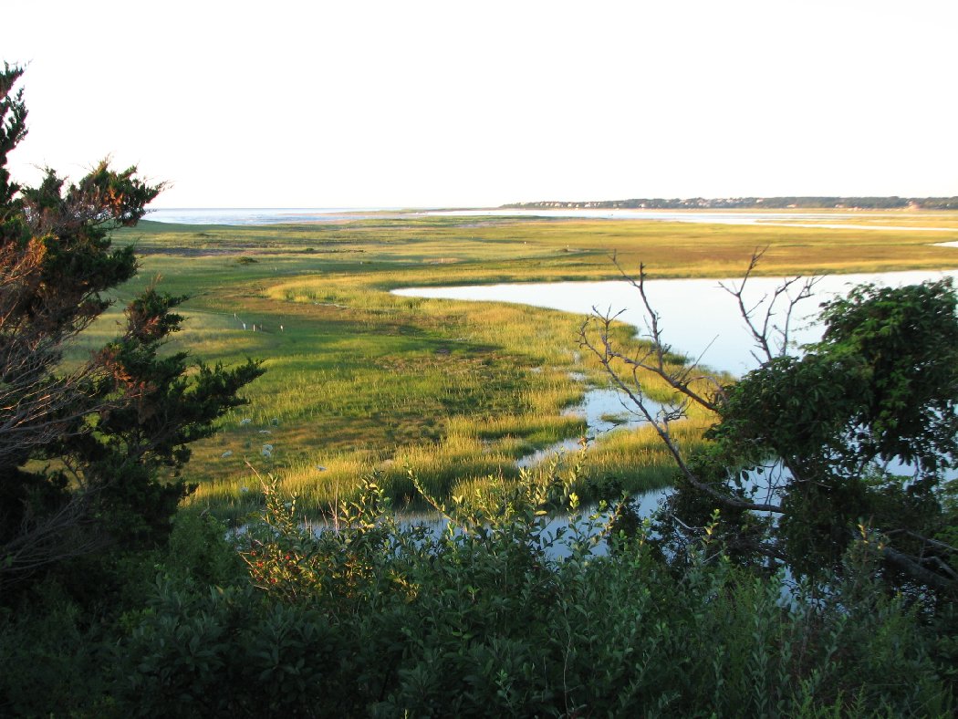
Uncle Tim’s Bridge offers quiet, gorgeous views over Duck Creek, toward Wellfleet Harbor and back toward Wellfleet Center. The Atlantic White Cedar Swamp trail leaves from the Marconi Site area and brings you on a short, interesting walk on a boardwalk through a beautiful and unusual coastal cedar swamp. The Great Island Trail brings you along the beach toward what was once Billingsgate Island; this is a long hike, but rich with natural and historical connections. The Audobon Wellfleet area is a favorite of naturalists and bird watchers from around the area.
Truro
Pilgrim Springs Trail Small’s Swamp Trail
Head of the Meadow Bike Trail Highlands Center North Pamet Trails
South Pamet Trail Kettle Pond Trail
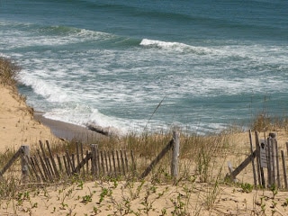
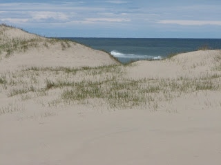
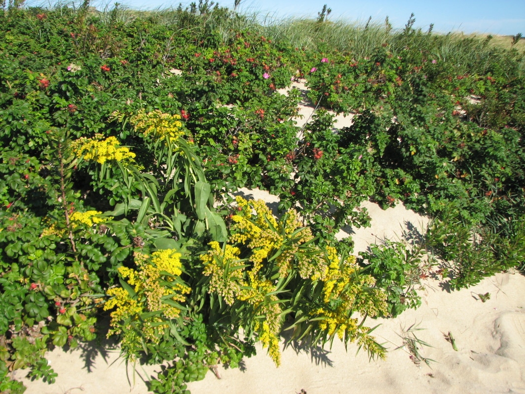
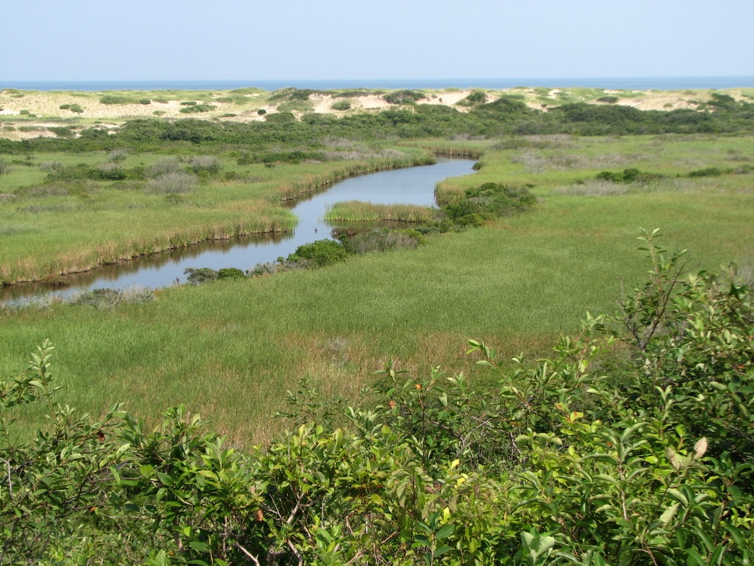
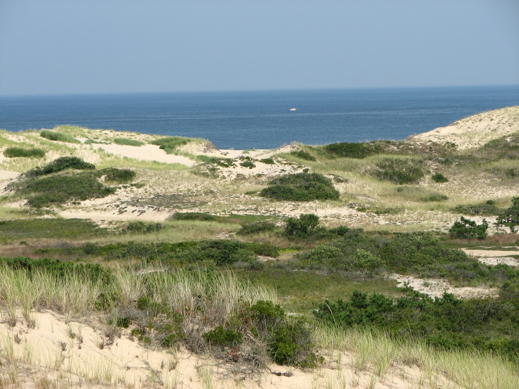
The Pilgrim Spring Trail leaves from the pavilion in the Pilgrim Spring parking area and brings you to some beautiful vistas overlooking the Head of the Meadow marsh area where the Pilgrims had first obtained fresh water during their visit to Cape Cod in 1620. Small’s Swamp Trail leaves from the same pavilion and brings you to a shallow kettle-pond boardwalk in the area where a farm had existed during the 1800’s. At Highlands Center you can explore the old North Truro Air Force Base, a path leads around the old roadways and then loops through the woodlands back to the parking area. The Head of the Meadow Bike Trail can be accessed from the Head of the Meadow Beach and takes you past the beautiful salt marsh and then to views of the beautiful dunes of North Truro.
Provincetown
Beech Forest Long Point
Race Point and Hatches Harbor Old Colony Nature Pathway
Foss Woods
Long Point can be hiked from Herring Cove Beach to the lighthouses at Long Point and Wood End; this is a long but rewarding walk. On Race Point Road, the Beech Forest Trail is a short trail looping through the beech forest and around small ponds in the area. From Race Point Beach, you can walk along the beach north and then west to the Race Point Lighthouse; this is also a long walk, but the views along the beach are outstanding.
Links to Local Municipal Resource Maps
Just click on any link below for the local town's conservation maps. Many towns have detailed individual trail maps.
Eastham Trail Maps
Wellfleet Conservation Trust Trail Maps
Provincetown Conservation Areas
National Seashore Trails
Trailhead Parking Locations
To best see the parking locations on the individual maps below:
* First be sure to enlarge the map to full screen using the icon near the top right of the map. Then you can zoom way in.
* Once you have done that, depending on your setup, clicking on a star on the map view in your phone, or the star followed by the location name and its arrow, will set the destination for Google Maps to take you to the location directly using Google voice instructions and the free GPS built in to your phone. It's awesome - try it out!
Note: Full use of the maps requires enabling location permissions in both the Chrome app and the Google Maps app.
* Once you open the full screen street map and zoom way in, changing to the satellite view will show the
exact parking locations for each trail.
View Eastham Walks and Hikes in a larger map
View Wellfleet Walks and Hikes in a larger map
View Truro Walks and Hikes in a larger map
View Provincetown Walks and Hikes in a larger map
© All Content Copyright 2009-2023 by William E. Peace.
All Rights Fully Reserved.
No duplication of any material by any means or for any reasons without written consent of the author.
