

Walks and Hikes In The Mid Cape - Barnstable, Dennis and Yarmouth
Barnstable
Sandy Neck Beach Bridge Creek Conservation Area Crocker Neck
West Barnstable Hathaway’s Pond
Long Pond Otis Atwood Area
Old Jail Lane Santuit Pond Preserve Trails
Whelan Area Long Pasture Wildlife Sanctuary
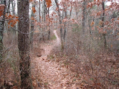
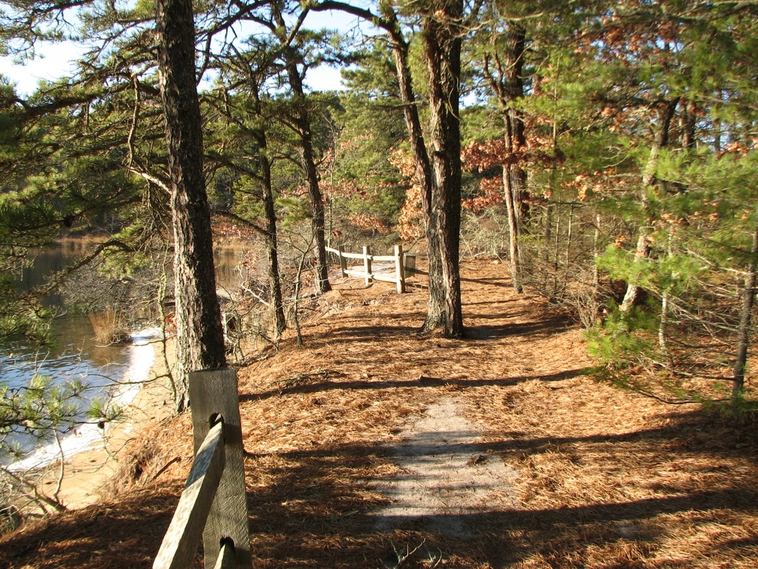
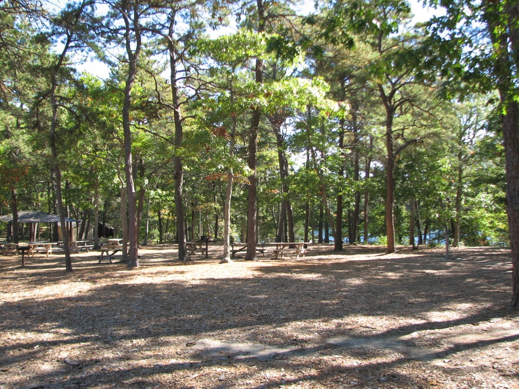
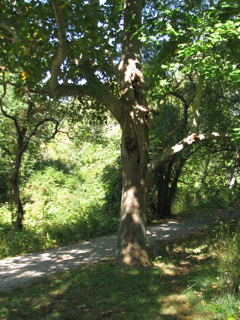
At Sandy Neck Beach you can walk for nearly 8 miles along the shore of this barrier beach that shelters the Great Marshes of Barnstable. The Long Pasture Wildlife Sanctuary is an easy walk through woodlands, past a working farm and to a fine view over Cape Cod Bay. Old Jail Lane Conservation area is a 180 acre area with several miles of trails in the hilly moraines just south of Route 6a; there are some distant views of the ocean from the higher elevations. Crocker Neck Conservation Area in Cotuit has more level trails right along the water and marsh at Pinquickset Cove. Also in Cotuit, the Long Pond Conservation area has two miles of trails through woods, fields, and through community gardens, near the shore of Long Pond.
Dennis
Hokum Rock Nobscusset Conservation Area
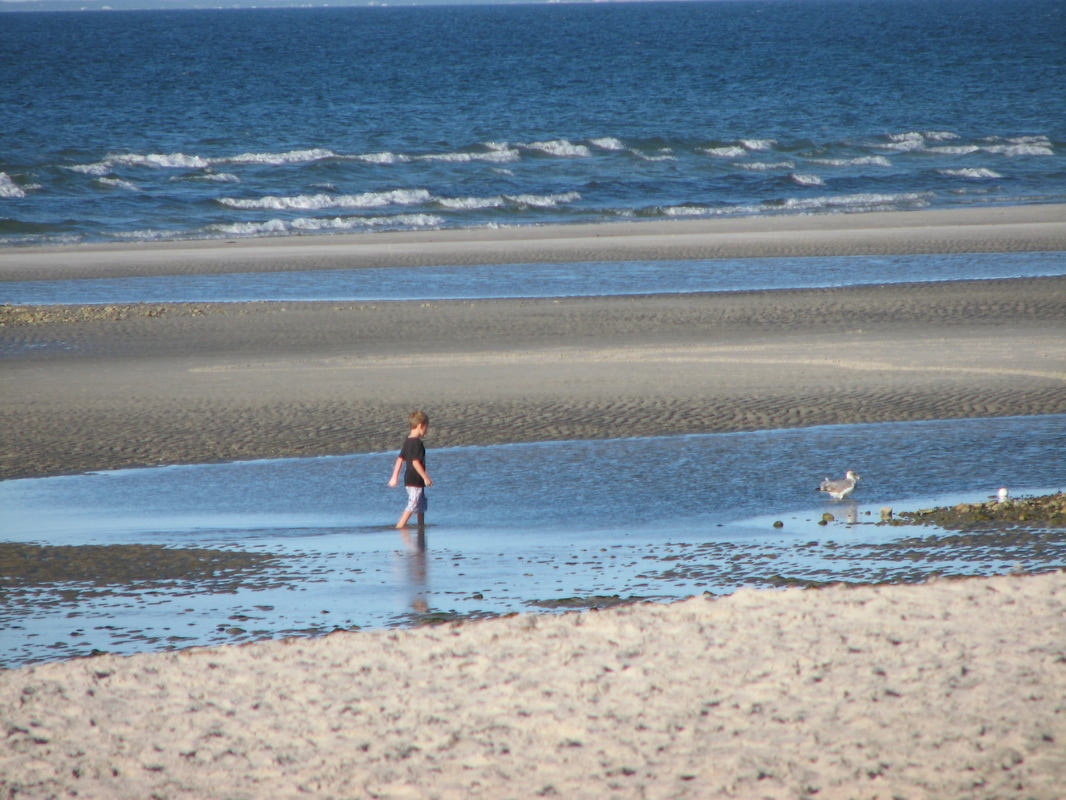
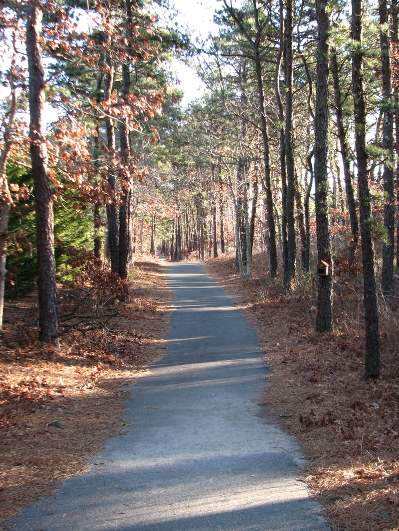
West Dennis Beach Johnny Kelley Recreation Area
Dorothy Bell Area Crowe’s Pasture
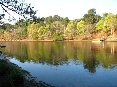
Be sure not to miss the Nobscusset Conservation Area; called the Indian Lands in the past, this area offers fantastic views of Bass River where the Nobscusset natives had spent their winters aftera their harvest at their summer homes north of Route 6a. West Dennis beach itself is another favorite, either on the beach or on the roadway, the beach is a mile long and a popular walking spot. For shorter walks, the Johnny Kelley Recreation area has an interesting Braille Trail and a 1 mile jogging/walking path, with many recreation opportunities as well. The Dorothy Bell Conservation Area has a short trail but offers beautiful views of Grassy Pond. Crowe's Pasture is always a favorite, with fine water views near Chapin Beach. While not well marked, the Hokum Rock Conservation Area trails can bring you to beautiful views of Simmons Pond in Dennis.
Yarmouth
Botanic Trails of Yarmouthport Peter Homer Park
Callery-Darling Trails Sandy Pond Recreation Area
Horse Pond Conservation Area Bass Hole
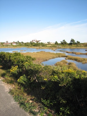
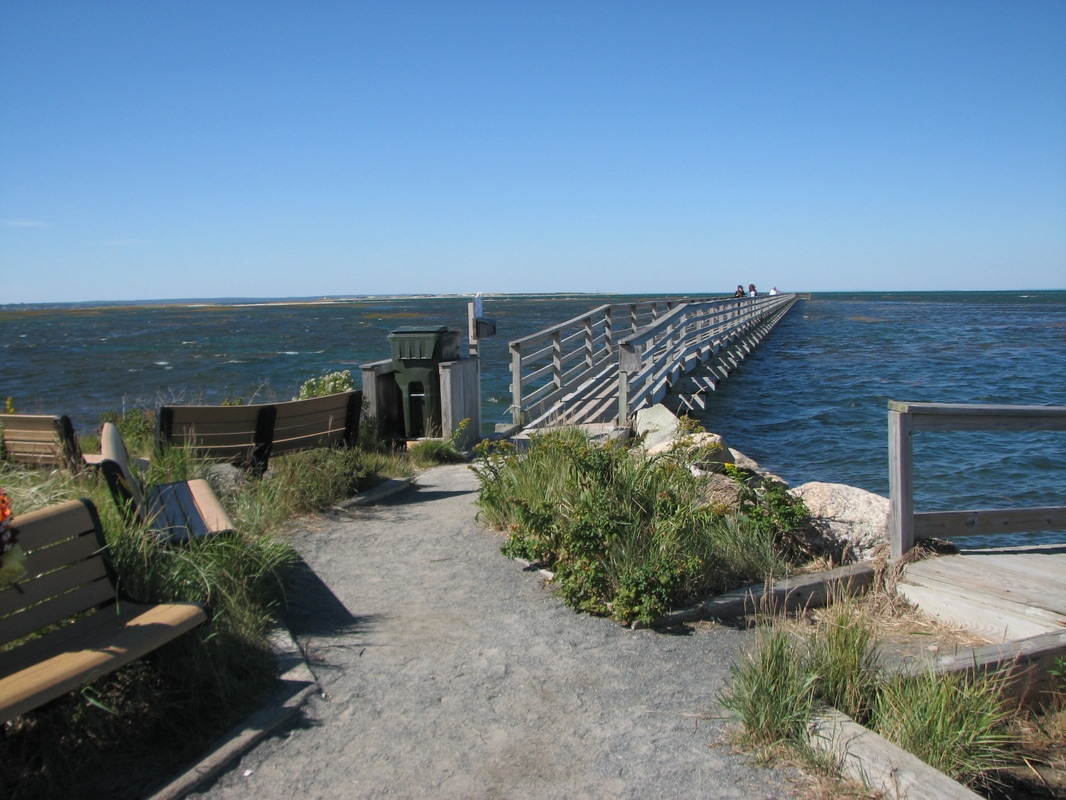
The Botanic Trails in Yarmouthport include several beautiful trails on the old Thacher properties, with views of Miller Pond, and many fine specimen plantings including a grove of rhododendrons, beautiful in early June. The Peter Homer has a very accessible paved walking path around the playing fields and bike paths. The Callery-Darling Trails start at Gray's Beach area near the Bass Hole Boardwalk and include an extensive trail system with many water views and marsh views.
Links to Local Municipal Resource Maps
Just click on any link below for the local town's conservation maps. Many towns have detailed individual trail maps.
Barnstable Conservation Trail Maps
Dennis Conservation Maps
Yarmouth Conservation Commission Maps
Trailhead Parking Locations
To best see the parking locations on the individual maps below:
* First be sure to enlarge the map to full screen using the icon near the top right of the map. Then you can zoom way in.
* Once you have done that, depending on your setup, clicking on a red star on the map view in your phone, or the red star followed by the location name and its arrow, will set the destination for Google Maps to take you to the location directly using Google voice instructions and the free GPS built in to your phone. It's awesome - try it out!
Note: Full use of the maps requires enabling location permissions in both the Chrome app and the Google Maps app.
* Once you open the full screen street map and zoom way in, changing to the satellite view will show the
exact parking locations for each trail.
View Barnstable Walks and Hikes in a larger map
View Dennis Walks and Hikes in a larger map
View Yarmouth Walks and Hikes in a larger map
© All Content Copyright 2009-2023 by William E. Peace.
All Rights Fully Reserved.
No duplication of any material by any means or for any reasons without written consent of the author.
