

Walks and Hikes In The Upper Cape - Bourne, Falmouth, Masphee, Sandwich
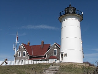
Bourne
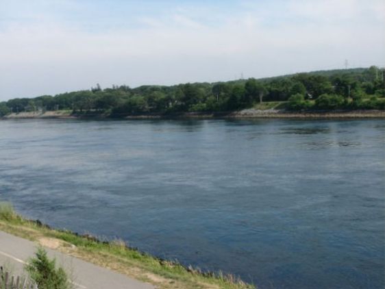
Cape Cod Canal Bournedale Hills Four Ponds Conservation Area
Little Bay and Monks Park Nickerson Area Red Brook Area
Cataumet Greenway Lawrence Island beaches
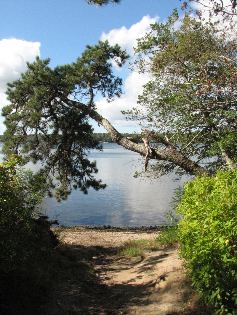
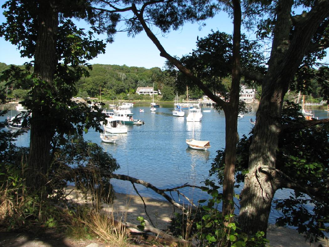
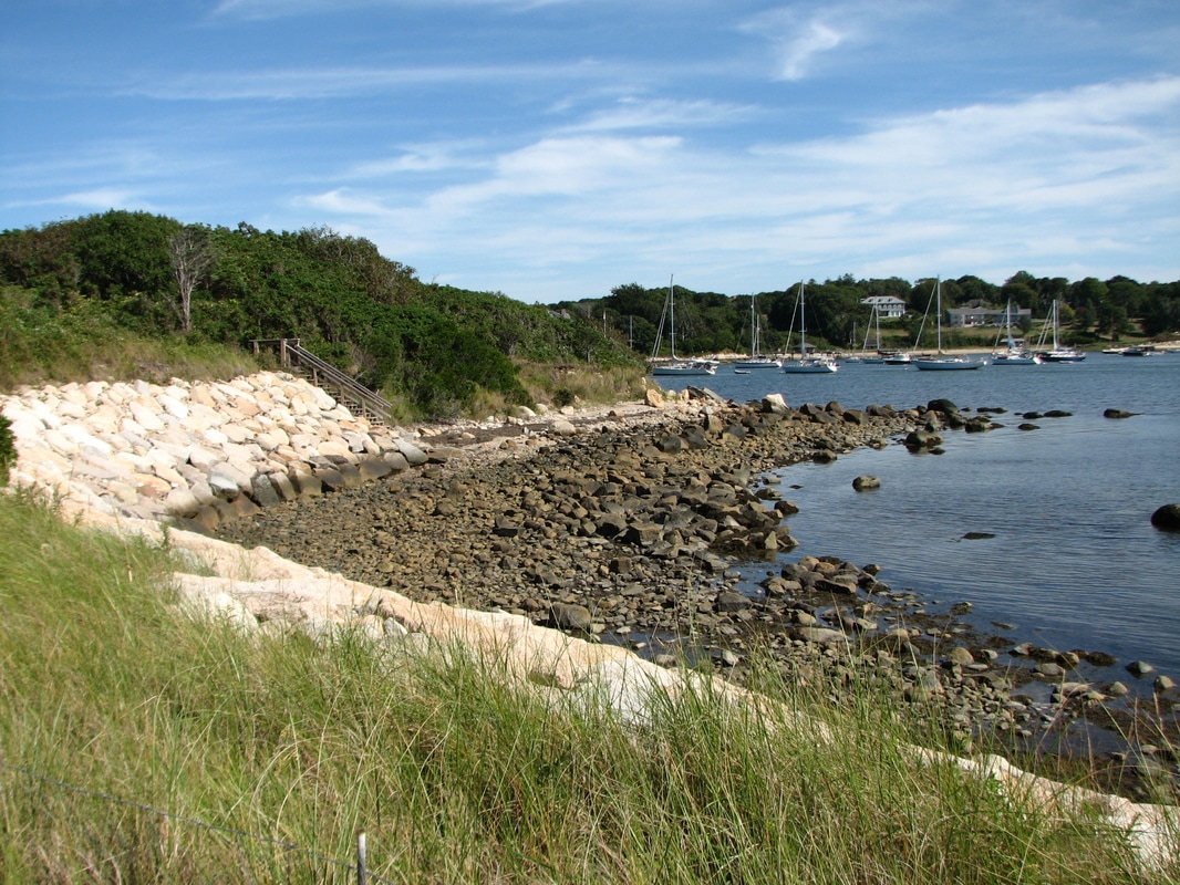
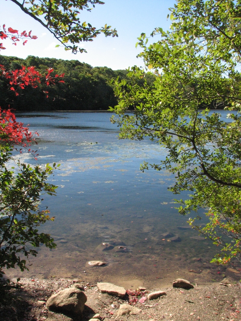
The Bournedale Hills Trail runs along the Cape Cod Canal from the Herring Run area near the Cape Cod Canal through the woods to the Bourne Scenic Park. At Little Bay and Monks Park, you can find several short trails along the shore of Buzzard’s Bay. Red Brook Conservation area is a 40-acre area with views of Red Brook Pond and cranberry bogs in the area. At the Cataument Greenway, several parcels of land totalling 95 acres are linked with a series of trails that pass through a variety of terrains.
Falmouth Hiking Trails
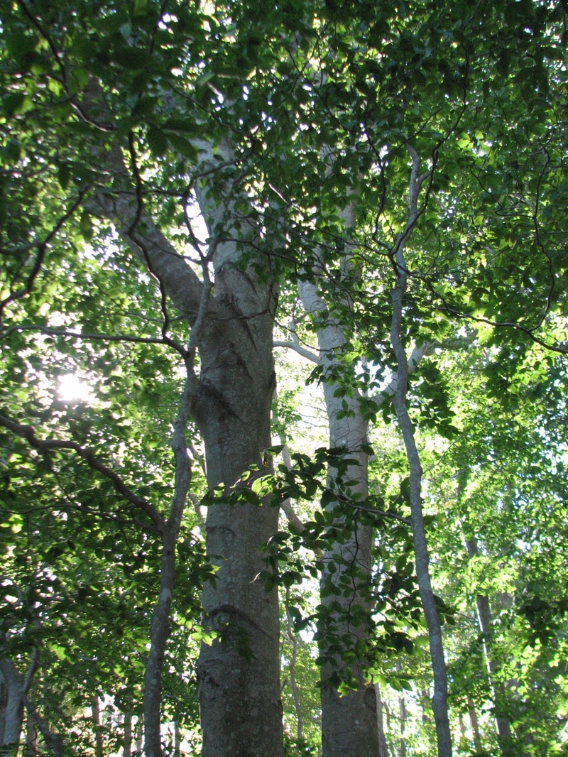
Ashumet Holly Reservation Beebe Woods Goodwill Park and Long Pond
Bartolomei Conservation Area Bourne Farm Wing Pond
Cardoza Farm Collins Woodlot Coonamessett Reservation
Coonamessett River Estuary Crane Wildlife Management Area Donald Whelden Preserve
Hanson-Powell Area Coonamessett River Headlands Kettle Holes Trails
Mares Pond Reservation Moonakis River Preserve Mock Moraine Hiking Trails
Salt Pond Sea Farms Area The Knob
Beebe Woods is a popular hiking area through the Cape woodlands along the glacial moraine in Falmouth; there are nearly 400 acres here. The 1.5 mile Ashumet Holly Trail loops around the 8 acre Ashumet Pond where you will see many wildflowers along the edge of the pond. The beautiful level Coonamesset Trails are along both sides of the Coonamesset River and cranberry bogs. At 86-acre Goodwill Park, trails lead around the popular Long Pond and through the woodlands there.
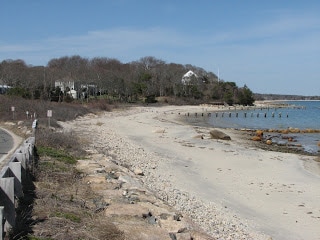
Mashpee
South Cape Beach State Park Lowell Holly Reservation Alper Conservation Area
John's Pond Mashpee River Woodlands Jehu Pond
Quashnet River Corridor Besse Bog
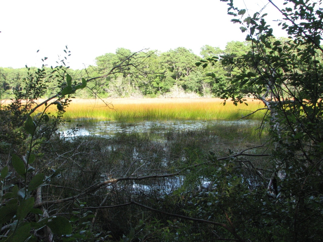
The Lowell Holly Reservation is a Trustees of the Reservations site, with beautiful water views of Wakeby-Mashpee Ponds. Trails lead through beech woods to the end of a peninsula between the two ponds. More than 4 miles of trails are found at John’s Pond Conservation area on this town-owned 258-acre area surrounding John’s Pond. At the Mashpee River Woodlands, you can find more than 8 miles of trails along the shores, marshes and cranberry bogs along the beautiful Mashpee River. At South Cape Beach, there is a short pond trail as well as the more than 3 mile long beach access. The Quashnet River area has over 440 acres along the Quashnet River, with many roads and trails for hiking.
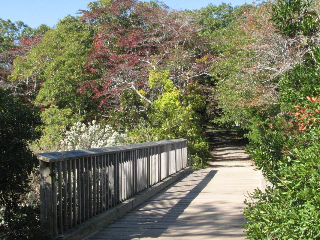
Sandwich
Old Briar Patch Talbot’s Point Conservation Area East Sandwich Game Farm
Sandwich Boardwalk and Town Neck Beach Maple Swamp
Boyden Farm Ryder Conservation Land Shawme-Crowell State Forest
Elinor's Woods Joe's Woods
Shirley's Woods
The 133-acre East Sandwich Game Farm had been used until the 1980’s to raise pheasants and quail for release in wildlife areas throughout the state. Now there are several miles of trails along ponds, marshes, and through woodlands in the area. Nearby Talbot’s Point Conservation area is a 112-acre area along salt-water and fresh-water marshes, with level trails. The Briar Patch is a 57-acre area that had inspired the author Thornton Burgess; trails lead through old pastures and locust and pine woods. Elinor’s Woods is a small 5-acre area with pleasant trails along old cranberry bogs and wetlands.
Links to Local Municipal Resource Maps
Just click on any link below for the local town's conservation maps. Many towns have detailed individual trail maps.
Bourne Conservation Trust
Falmouth Landtrust Trailmaps
Mashpee Conservation Maps
Sandwich Conservation Trust Trail Maps
Trailhead Parking Locations
To best see the parking locations on the individual maps below:
* First be sure to enlarge the map to full screen using the icon near the top right of the map. Then you can zoom way in.
* Once you have done that, depending on your setup, clicking on a red star on the map view in your phone, or the red star followed by the location name and its arrow, will set the destination for Google Maps to take you to the location directly using Google voice instructions and the free GPS built in to your phone. It's awesome - try it out!
Note: Full use of the maps requires enabling location permissions in both the Chrome app and the Google Maps app.
* Once you open the full screen street map and zoom way in, changing to the satellite view will show the
exact parking locations for each trail.
View Bourne Walks and Hikes in a larger map
View Falmouth Walks and Hikes in a larger map
View Mashpee Walks and Hikes in a larger map
View Sandwich Walks and Hikes in a larger map
© All Content Copyright 2009-2023 by William E. Peace.
All Rights Fully Reserved.
No duplication of any material by any means or for any reasons without written consent of the author.
